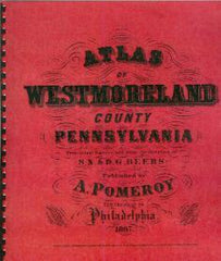
Compiler: A. Pomeroy
This black and white reproduction of the original 1867 Westmoreland County, Pennsylvania maps has been reduced to 12 x 14" for ease of use. It is an exact duplication of the original maps of Pennsylvania. It includes also a table showing distances between villages in miles and tenths of miles, measured on the nearest public road.
An every name index was compiled by Tom Metzgar which makes it easy to pinpoint individuals residing in Westmoreland County in those early years. 71 pages are printed one side only + the new 20 page index.
7 UNBOUND ATLASES. Closson Press sold the binding equipment to bind these but the material is excellent.
Reprint 2002, 12" X 14", UNBOUND ATLASES AND INDEX. 91 pages
No ISBN assigned.
Price: $25.00
SKU: CP-311
Usually ships within1-3 days