Author: Brian Mitchell
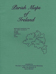
(Depicting all townlands in the four Ulster Counties of Armagh, Donegal, Londonderry, and Tyrone) Maps for all townlands in four Ulster Counties:
- 34 maps for County Tyrone
- 49 maps for County Donegal
- 32 maps for County Derry
- 24 maps for County Armagh
For each county there are separate outline maps of every civil parish, which show a total of 6,996 townlands. Additional maps show the counties divided into parishes, Ulster into baronies and poor law unions, and Ireland into probate districts and Anglican dioceses. Introductory material explains the genealogical significance of each type of jurisdiction and why these new maps are needed. This book is an important addition to the growing list of Irish genealogical aids. It will give you an advance feeling for the locations or places that local people still know by traditional names if you’re planning a visit to Ireland.
1988, 8.5" X 11", Softbound, 288 pages
ISBN 0933227337
Price: $29.95
SKU: CP-514
Usually ships within1-3 days